Yarwood Ruins
TOWNSHIPS/SUBDIVISIONS OF BURRA
and other settlement sites
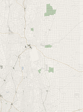
These maps are too small for the dots to be tapable. Nor is enlarging the tapable area round them feasible. This link will take you to the same page on the Main Site.

TOWNSHIPS/SUBDIVISIONS OF BURRA
and other settlement sites
whose positions are unidentified
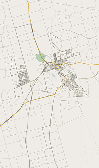
This page has been compiled from information supplied by the Burra History Group.
The map is derived from the South Australian Government's Property Location Browser
Aberdeen

Detailed Survey map of Aberdeen
Courtesy: SA DPTI

A later Survey map of Aberdeen
Courtesy: SA DPTI
This is a subdivision of section 4 Hundred of Kooringa by Robert A.A. Morehead and Matthew Young in 1849. It reflects an attempt by the owners of the failed Bon Accord Mine to make some money from their holding. Presumably it takes its name from the Scottish city of Aberdeen which derives its name from its location near the mouth (aber) of the River Dee.
Except for a slight irregularity in the southeast corner, the plan was a simple grid, but in 1862 the main road to the north was cut through the northern portion of the town in a wide arc and more recently the road to Morgan has extended this disruption somewhat.
By and large the attempted sale of Aberdeen failed and by 1873 there were 10 houses, 2 hotels and 2 shops. All, but one of these were located along the main road. The development of this subdivision proceeded very slowly from the arrival of the railway in 1870 to the present time.
The 1875 petition for a Town Council claimed there were then 39 houses.

Aberdeen in the 1930s